Kurdish
Media
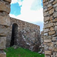
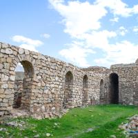
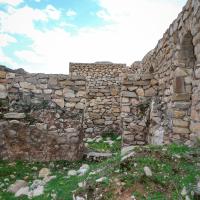
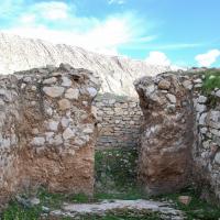
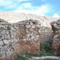
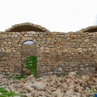
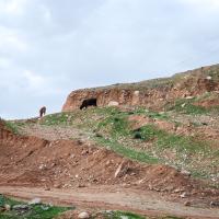
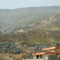
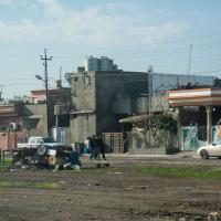
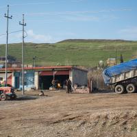
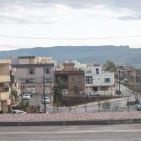
- Exterior: View Southwest from Northern Are of Khan
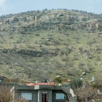
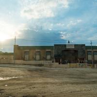
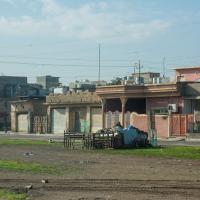
- Exterior: Northern Facade
- Exterior: Northern Facade
- Exterior: Northern Facade
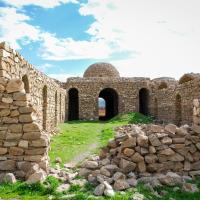
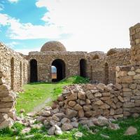
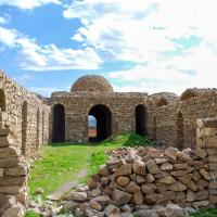
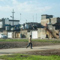
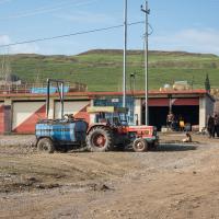
- Exterior: Eastern Side of Central KKhan Area
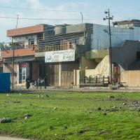
- Exterior: Eastern Side of Khan facing East
- Exterior: Eastern Side of Khan facing Southeast
- Exterior: Eastern Side of Khan facing Southeast
- Exterior: Eastern Side of Khan facing Southeast
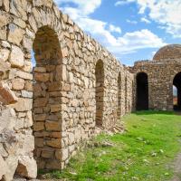
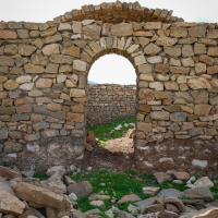
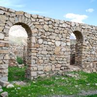
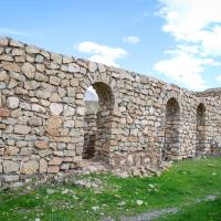
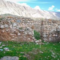
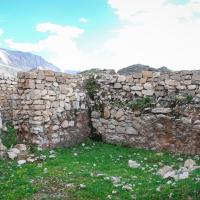
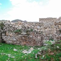
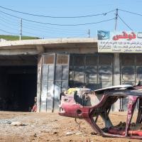
- Exterior: Ruins of Eastern Side of Khan facing East
- Exterior: Ruins of Eastern Side of Khan facing Southeast
- Exterior: Ruins of Eastern Side of Khan facing South
- Exterior: Ruins of Eastern Side of Khan facing South
- Exterior: Ruins of Eastern Side of Khan facing East
- Exterior: Ruins of Eastern Side of Khan facing East
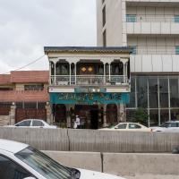
- Exterior: Western Facade of Central Khan Area
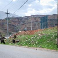
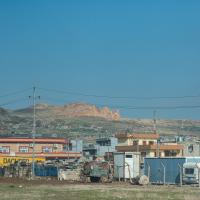
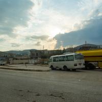
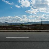
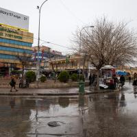
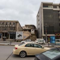
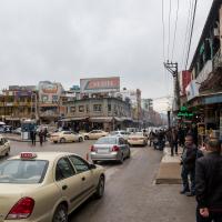
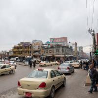
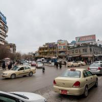
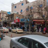
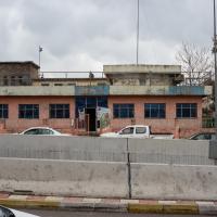
- View Across Sirwan Road from Han, facing Northwest
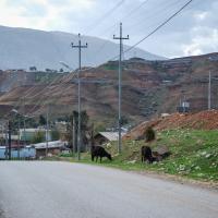
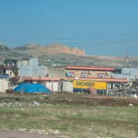
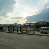
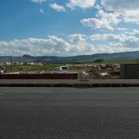
- View facing West down Sirwan Road in front of Han
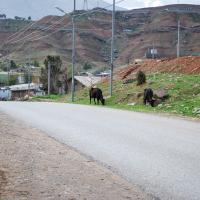
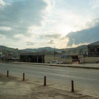
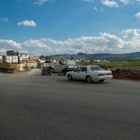
- View facing West down Sirwan Road in front of Han
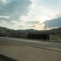
- View facing West down Sirwan Road in front of Han
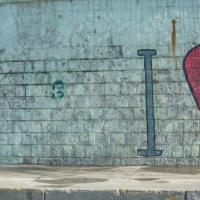
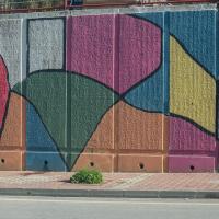
- Graphic at the Exit of the Tunnel to Darbandikhan from the North
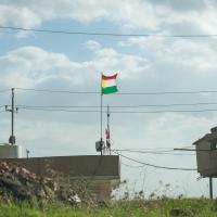
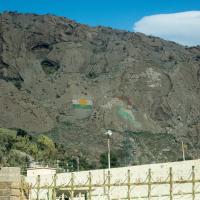
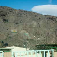
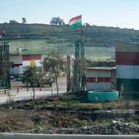
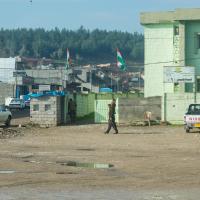
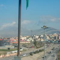
- Kurdish Flag in Darbandikhan
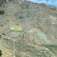
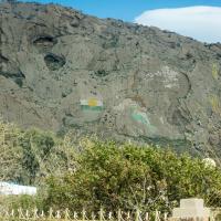
- View of Mountainside North of Darbandikhan, Kurdish Flag and Map Mural
- View of Mountainside North of Darbandikhan, Kurdish Flag and Map Mural
- View of Mountainside North of Darbandikhan, Kurdish Flag and Map Mural
- View of Mountainside North of Darbandikhan, Kurdish Flag and Map Mural
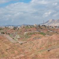
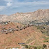
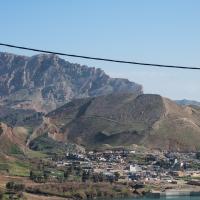
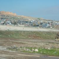
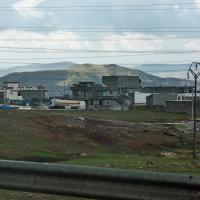
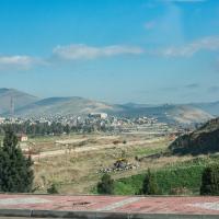
- View of Darbandikhan facing Northwest
- View of Darbandikhan facing Northwest
- View of Darbandikhan facing Northwest
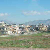
- View of Darbandikhan from the South, facing North
- View of Darbandikhan from the South, facing North
- View of Darbandikhan from the South, facing North
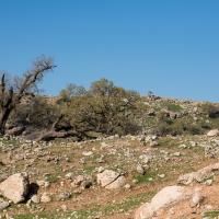
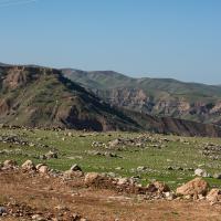
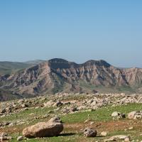
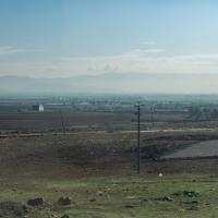
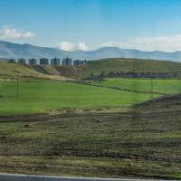
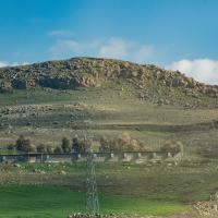
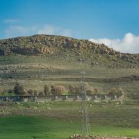
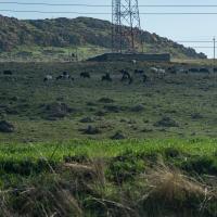
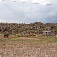
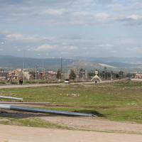
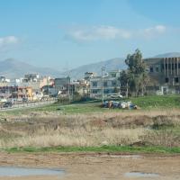
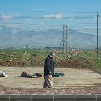
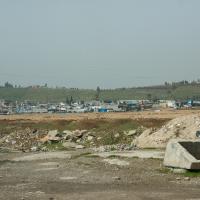
- Landscape South of Darbandikhan, Iraq
- Landscape South of Darbandikhan Iraq
- Landscape South of Darbandikhan, Iraq
- Landscape South of Darbandikhan, Iraq
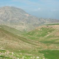
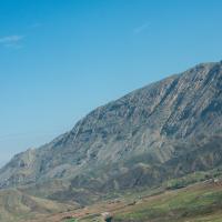
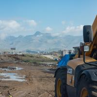
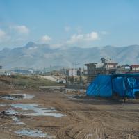
- Zagros Mountains South of Darbandikhan, Facing Northeast
- View of Darbandikhan, Iraq, Facing North
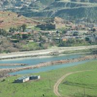
- Sirwan River in the Southern Area of Darbandikhan, Iraq
- Area of Darbandikhan Along River
- Darbandikhan, Iraq, Facing Southwest
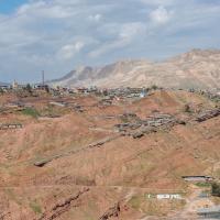
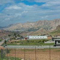
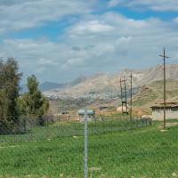
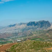
- View of Qara Dagh and Environs
- View of Qara Dagh and Environs
- View of Tasluja, facing Northwest
- View of Tasluja
- View of Tasluja
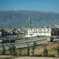
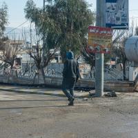
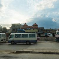
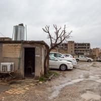
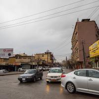
- Street View in Tasluja
- Street View in Tasluja, facing North towards Piramagrun Mountain
- Street View in Tasluja, facing North towards Piramagrun Mountain
- View East from Tasluja towards Sulaymaniyah
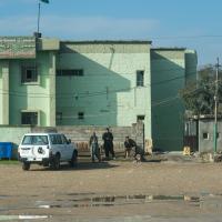
- Goverment Complex North of Tasluja
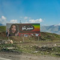
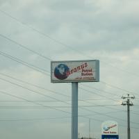
- Billboard near Piramagroon
- View of Valley near Piramagroon
- View of Valley near Piramagroon
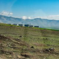
- View of Landscape near Piramagroon
- View of Landscape near Piramagroon
- View of Landscape near Piramagroon
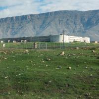
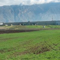
- Fort Suse Prison Complex near Piramagroon
- Fort Suse Prison Complex near Piramagroon
- Village of Piramagroon
- Village of Piramagroon
- Village of Piramagroon
- View of Qarachatan, Farming Community Directly West of Mt. Piramagrun, facing South
- Street View in Tasluja
- Street View in Tasluja, facing East
- Street View in Tasluja, facing Northeast
- Street View in Tasluja, facing Northeast
- Street View in Tasluja, facing Northeast
- Street View in Tasluja, facing Northeast
- Street View in Tasluja, facing Northeast
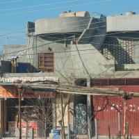
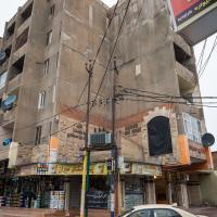
- Building in Arbat, Iraq along Highway 4
- Building in Arbat, Iraq along Highway 4
- Building in Arbat, Iraq along Highway 4
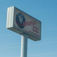
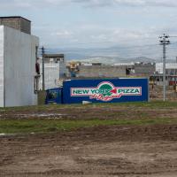
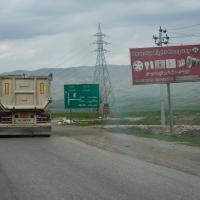
- Sign near Qaragoll, Iraq along Highway 4
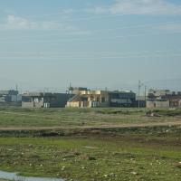
- Buildings in Qaragoll, Iraq along Highway 4
- Buildings in Qaragoll, Iraq along Highway 4
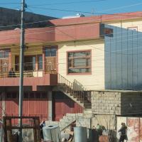
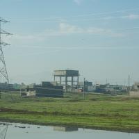
- Buildings in Zarayan, Iraq along Highway 4
- Buildings in Zarayan, Iraq along Highway 4
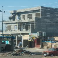
- Buildings in Zarayan, Iraq along Highway 4
- Buildings in Zarayan, Iraq along Highway 4
- Buildings in Zarayan, Iraq along Highway 4
- Buildings in Zarayan, Iraq along Highway 4
- PUK Headquarters in Zarayan, Iraq
- PUK Headquarters in Zarayan, Iraq
- Buildings in Zarayan, Iraq along Highway 4
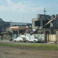
- Street Scene in Zarayan, Iraq
- Street Scene in Zarayan, Iraq
- Street Scene in Zarayan, Iraq
- Street Scene in Zarayan, Iraq
- Street Scene in Zarayan, Iraq
- Street Scene in Zarayan, Iraq
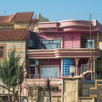
- Landscape and Buildings in Miradee, Iraq, Facing Southwest along Iraq Highway 4
- Landscape and Buildings in Miradee, Iraq, Facing Southwest along Iraq Highway 4
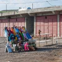
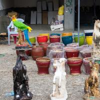
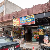
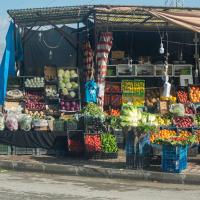
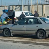
- Roadside Vendor in Zarayan
- Local scene south of Sulaymaniyah, in the village of Zarayan
- Street View in Zarayan
- Street View in Zarayan
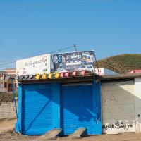
- Sign in Qaragoll
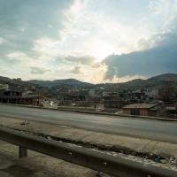
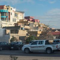
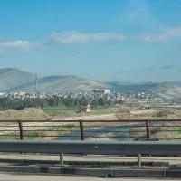
- View South from Road West of Sulaymaniyah, Western Outskirts of the City
- View South from Road West of Sulaymaniyah, Western Outskirts of the City
- View Southeast from Road West of Sulaymaniyah, Western Outskirts of the City
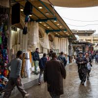
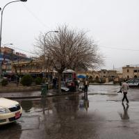
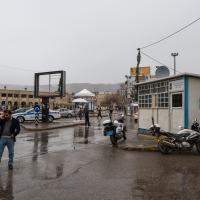
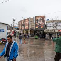
- Street Scene in the Central Souk
- Street View on Salim Street, Western Side of Sulaymaniyah, facing North
- Street Scene in the Central Souk
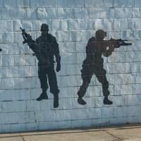
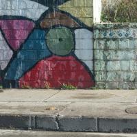
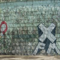
- Mural in Western Sulaymaniyah
- Street Scene in the Central Souk
- Mural in Western Sulaymaniyah
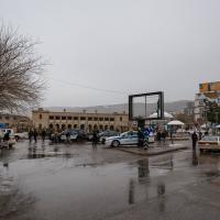
- Saray Azadi (Freedom Square) facing North
- Mural in Western Sulaymaniyah
- Saray Azadi (Freedom Square) facing North
- Mural in Western Sulaymaniyah
- Saray Azadi (Freedom Square) facing East
- View of Route 4 Interchange in Western Sulaymaniyah
- Saray Azadi (Freedom Square) facing North
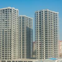
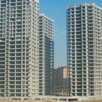
- View of Construction in Western Sulaymaniyah
- Saray Azadi (Freedom Square) facing North
- View of Construction in Western Sulaymaniyah
- Building near Saray Azadi
- Mural in Western Sulaymaniyah
- Street Scene on Mawlawi Street, West of Azadi Saray
- View North from the Sulaimani-Kirkuk Road, Western Side of Sulaymaniyah, facing North
- Street View, Parking Lot near Azadi Saray
- View North from the Sulaimani-Kirkuk Road, Bridge over the Tanjaro River, Western Side of Sulaymaniyah, facing North
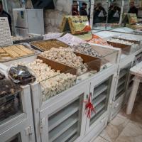
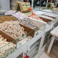
- Sweet Shop near Azadi Saray
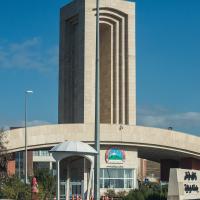
- University of Sulaimani Gate
- Sweet Shop near Azadi Saray
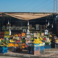
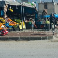
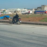
- Fruitstand on the Sulaimani-Kirkuk Road, Western Outskirts of Sulaymaniyah
- Sweet Shop near Azadi Saray
- Fruitstand on the Sulaimani-Kirkuk Road, Western Outskirts of Sulaymaniyah
- Industry on the Sulaimani-Kirkuk Road, Western Outskirts of Sulaymaniyah
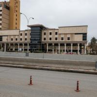
- Street View on Salim Street
- Western Edge of Sulaymaniyah on the Sulaimani-Kirkuk Road
- View of the Sulaymaniyah Museum on Salim Street
- Western Edge of Sulaymaniyah on the Sulaimani-Kirkuk Road
- View of the Library on Salim Street
- Fruitstand on the Sulaimani-Kirkuk Road, Western Outskirts of Sulaymaniyah
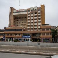
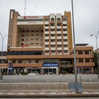
- Exterior: Ramada Hotel on Salim Street
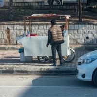
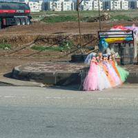
- Vendor on the Sulaimani-Kirkuk Road, Western Outskirts of Sulaymaniyah
- Exterior: Ramada Hotel on Salim Street
- View of Raparin Development on the Western Edge of Sulaymaniyah City, facing North on the Sulaimani-Kirkuk Road
- Street View on Salim Street
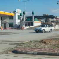
- View of Mosque and Gas Station in the Raparin Development on the Western Edge of Sulaymaniyah City, facing North on the Sulaimani-Kirkuk Road
- Street View: Recent Construction on Salim Street
- View of Mosque and Gas Station in the Raparin Development on the Western Edge of Sulaymaniyah City, facing North on the Sulaimani-Kirkuk Road
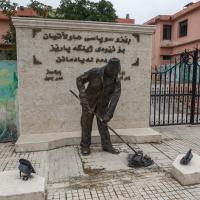
- Street View: Monument to Street Cleaners
- View of Raparin Development on the Western Edge of Sulaymaniyah City, facing North on the Sulaimani-Kirkuk Road
- View of School on Salim Street
- Industry on the Western Edge of Sulaymaniyah, facing Northwest on the Sulaimani-Kirkuk Road
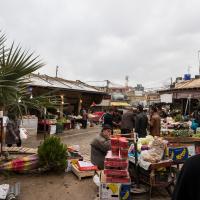
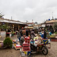
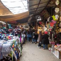
- Street View: Central Souk, Square South of Mawlawi Street
- View North on the Sulaimani-Kirkuk Road, Western Edge of Sulaymaniyah
- Street View: Central Souk, Square South of Mawlawi Street
- View North on the Sulaimani-Kirkuk Road, Western Edge of Sulaymaniyah
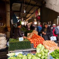
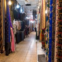
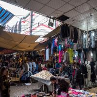
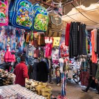
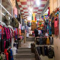
- Interior: Textile Vendor
- View North on the Sulaimani-Kirkuk Road, Western Edge of Sulaymaniyah
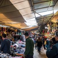
- View of Central Souk
- View North on the Sulaimani-Kirkuk Road, Western Edge of Sulaymaniyah
- View of Central Souk
- View North on the Sulaimani-Kirkuk Road, Western Edge of Sulaymaniyah
- View of Central Souk
- Vendor on the Sulaimani-Kirkuk Road, Western Edge of Sulaymaniyah
- View of Central Souk
- View North on the Sulaimani-Kirkuk Road, Western Edge of Sulaymaniyah
- View of Central Souk
- View North on the Sulaimani-Kirkuk Road, Western Edge of Sulaymaniyah
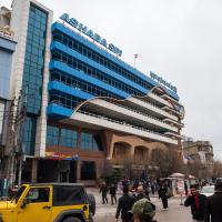
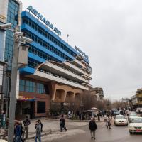
- Ashaba Spi Parking Garage, Ashaba Spi Square
- View North on the Sulaimani-Kirkuk Road, Western Edge of Sulaymaniyah
- Ashaba Spi Parking Garage, Ashaba Spi Square
- Ashaba Spi Square facing South down Kawa Street
- Ashaba Spi Square facing South
- Ashaba Spi Square facing South
- Street Scene, Mawlawi Street
- Street Scene on Salim Street
- Street Scene on Salim Street
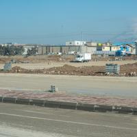
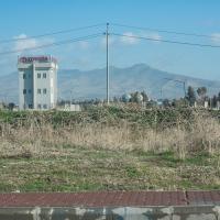
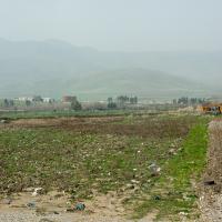
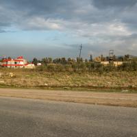
- Outskirts of Sulaymaniyah
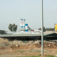
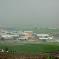
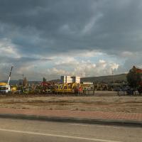
- Industry near Sulaymaniyah
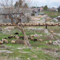
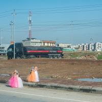
- Agriculture near Sulaymaniyah
- Industry near Sulaymaniyah
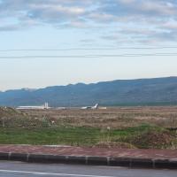
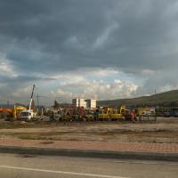
- Sulaymaniyah Airport, Facing South
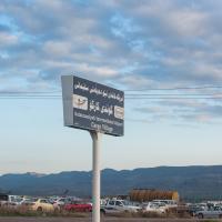
- Sulaymaniyah Airport Cargo Village
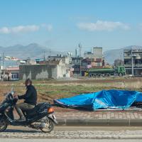
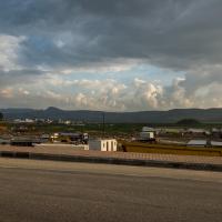
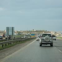
- Street View of Western Sulaymaniyah Outskirts Facing South Along Sulaymaniyah-Kirkuk Highway
- Street View of Western Sulaymaniyah Outskirts Facing South Along Sulaymaniyah-Kirkuk Highway
- Stadium in Western Sulaymaniyah Along Sulaymaniyah-Kirkuk Highway
- Western Outskirts of Sulaymaniyah facing North
- Western Outskirts of Sulaymaniyah, facing Southwest
- Western Outskirts of Sulaymaniyah, facing Southwest
- Western Outskirts of Sulaymaniyah, facing South
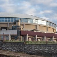
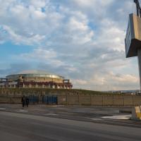
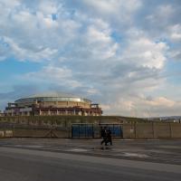
- Indoor Sports Complex Northeast of Airport
- Indoor Sports Complex Northeast of Airport
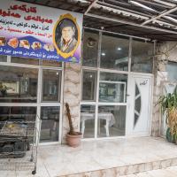
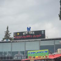
- Restaurant in Western Sulaymaniyah along Salim Street
- Street View South of Sulaymaniyah
- Southern Sulaymaniyah
- Street View in South Central Sulaymaniyah
