Site Profile
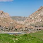
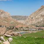
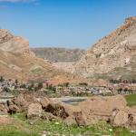
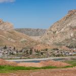
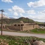
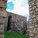
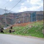
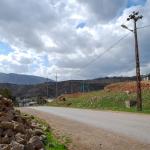
The Darbandikhan khan is located in the modern village of Sirwan, just southeast of the city of Darbandikhan in Sulaymaniyah/Slemani Governorate, Iraqi Kurdistan. It sits on a low hill overlooking the town, at a bend along the Sirwan River. The khan once served a caravan route running through the pass between Mt. Baranan to the north and Mt. Qawala to the south. It was reconstructed shortly before the MMM team documented the site in 2017.
Media
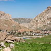
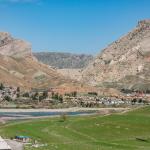
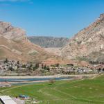
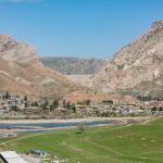
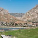
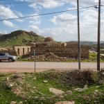
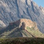
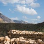
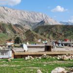
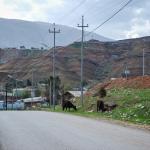
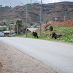
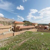
Views over Darbandikhan (Including Khan)
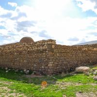
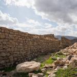
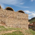
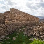
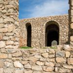
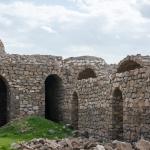
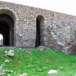
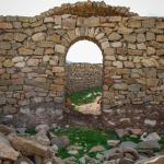
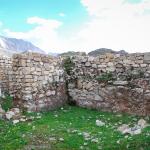
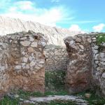
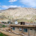
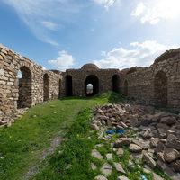
Darbandikhan Khan Outer Facades
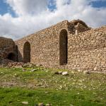
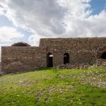
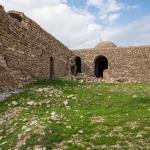

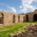
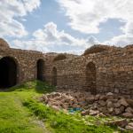
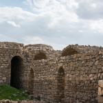
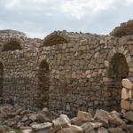
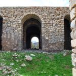
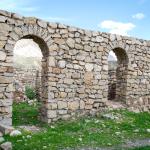
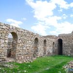
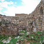
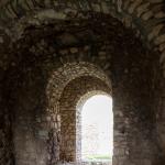
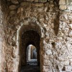
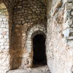
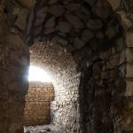
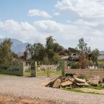
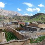
General Views within Darbandikhan Khan
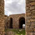
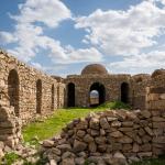
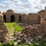
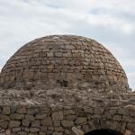
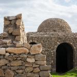
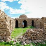
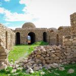
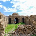
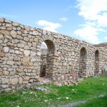
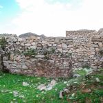
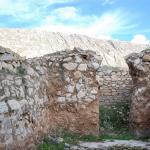
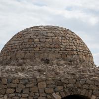
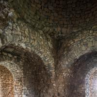
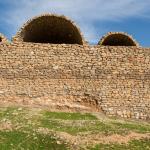
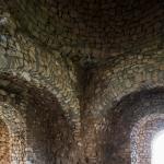
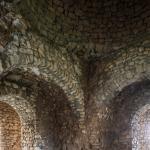
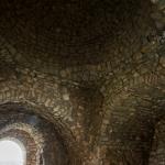
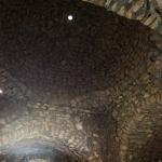
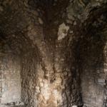
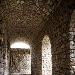
Darbandikhan Khan Dome and Vaulted Area
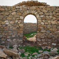
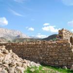
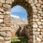
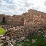
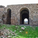
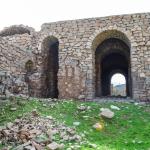
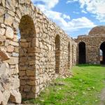
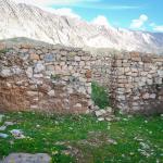
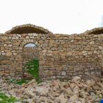
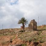
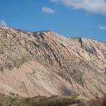
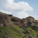
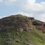
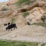
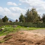
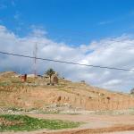
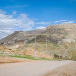
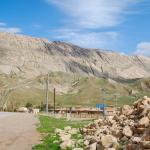
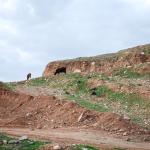
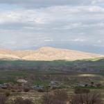
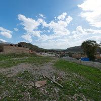
Landscape and Ruins surrounding Darbandikhan Khan
Description & Iconography
History
A minor caravan route—roughly tracing the valley of the Diyala/Sirwan River—ran though this pass, linking Khanaqin or Kifri in the southwest with Halabja in the northeast (and thence further east).1 The khan apparently escaped the attention of the travelers who traversed the area and described the pass during the 19th and early 20th centuries.2 The building’s exact date of construction is not immediately clear. It lay in ruins, nearly to its foundations, until its recent reconstruction under the auspices of the Sulaymaniyah/Slemani Directorate of Antiquities.
- 1. On the caravan routes through this area: Cecil J. Edmonds, Kurds, Turks and Arabs (London: Oxford University Press, 1957), 19; Ely B. Soane, Report on the Sulaimania District of Kurdistan 1910 (Sulaymaniyah/Slemani: Kurdology Center, 2008; reprint [1910]), 27.
- 2. Henry Rawlinson refers to what may be this site as “Banah-khilan” in his report of his travels in the year 1836; see “Notes on a March from Zoháb (…),” Journal of the Royal Geographical Society of London 9 (1839), 29. Cecil J. Edmonds more certainly passed through the gorge of Darbandikhan in 1922 but makes no reference to the khan (or to any settlement); see Kurds, Turks and Arabs (London: Oxford University Press, 1957), 158.