Site Profile
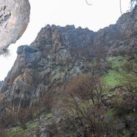
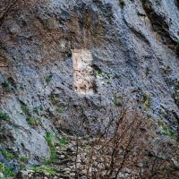
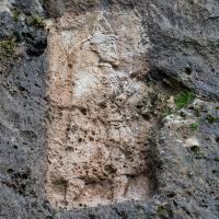
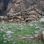
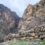
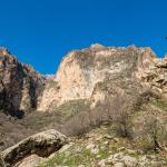
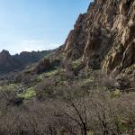
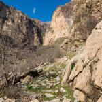
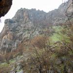
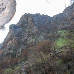
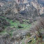
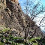
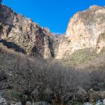
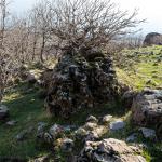
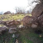
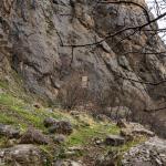
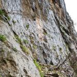
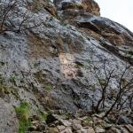
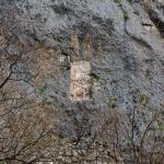
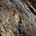
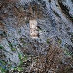
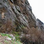
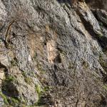
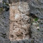
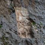
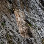
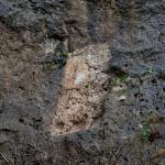
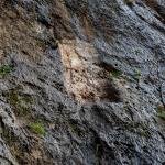
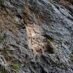
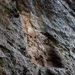
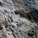
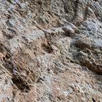
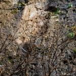
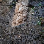
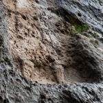
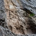
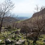
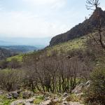
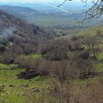
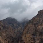
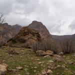
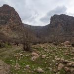
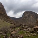
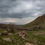
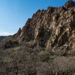
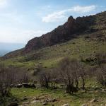
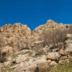
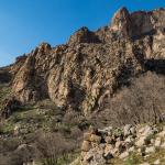
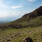
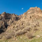
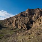
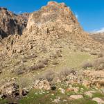
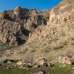
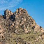
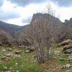
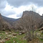
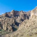
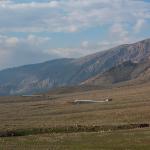
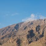
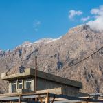
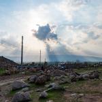
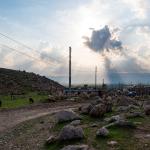
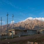
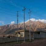
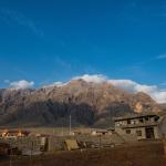
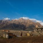
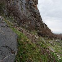
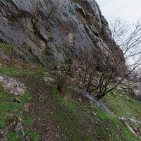
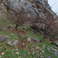
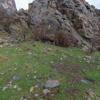
The archaeological site of Rabbana is disposed around a wadi-carved valley cutting into the western slope of Mt. Piramagrun. The closest village, Qarachatan, is about 1 km to the west, and the site is about 40 km northwest of the city of Sulaymaniyah/Slemani. As at Merquli, 1.5 km to the southeast along the same side of Mt. Piramagrun, Rabbana is marked by a rock relief associated with a group of various architectural features, including defensive walls. However, the two sites are in very different positions—while Merquli is set on a high peak, Rabbana is much lower within the valley. In the Parthian period, when the pair of reliefs was likely carved, the sites lay near the border between the empire’s northwestern provinces and the vassal kingdom of Adiabene.
Media
Description & Iconography
History
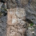
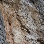
As with Merquli, there is very little evidence for the history of Rabbana. Positioned as it is in one of the western ranges of the Zagros Mountains, in an easily defensible valley, it was surely associated with border security. During the Parthian period, this area was a frontier between the empire’s western provinces and the vassal kingdom of Adiabene. Thus, scholars have identified the figure on the relief with a ruler from one or the other of these realms: some have suggested an Adiabenean king, while others prefer an Arsacid dynast—perhaps Vonones II (r. 51 AD) or Vologaeses III (r. 108/9–147/8 AD), based on numismatic parallels for the headgear.1
Whoever this ruler was, the placement of his image at the entrance to the settlement was certainly strategic, marking the entire site with an enduring figuration of his power. Given the similarity between the reliefs at Rabbana and Merquli, it may be that the same ruler (or succeeding members of a dynasty) sought to claim the possession of a group of fortified sites and emphasize their interconnection by means of this pair of reliefs. In any case, the near replication of the images in fairly close proximity was surely meaningful in the context of the ancient Near East; it will have been understood as impressive and efficacious, with the repetition extending the ruler’s presence across multiple spatial contexts.2
Preliminary investigations of the area within the perimeter wall have thus far revealed only one pottery phase datable to the Parthian era.3 Given the difficulties involved in dating the ceramic material, it is possible that occupation extended into the Sasanian period (as, apparently, at Merquli). Rabbana awaits systematic study and analysis before further conclusions can be reached regarding later or earlier utilizations of the site.
Selected Bibliography
D. A. Zamua, and Amedie, E. M.. 2011. “The Rock Reliefs of Mirqulie and Rabanah in Piramagrun Mountain: An Analysis and Comparison.” Subartu 4–5: 230–239 (in Arabic).
Brown, Michael, Peter Miglus, Kamal Rasheed, and Mustafa Ahmad. 2018. “Portraits of a Parthian King: Rock Reliefs and the Mountain Fortresses of Rabana-Merquly in Iraqi Kurdistan.” Iraq 80: 63–77.
Mahdi, A. 1950. “Archaeological Sites in the Surdash Region of Sulaimaniyah Province.” Sumer 6: 231–243 (in Arabic).
Raheem, Kamal Rasheed. 2001. “The Project of Mountain Piramagroon’s Relief Replicas at Merquli and Rabana.” Hezar Merd 18: 153–163 (in Arabic).


