Site Profile
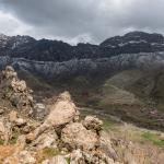
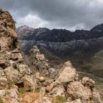
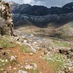
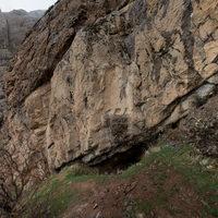
The archaeological site of Merquli is located just west of the modern village of Zewe, 40 km to the northwest of Sulaymaniyah/Slemani. Its main features are a rock-carved relief and the foundations of a large building, likely a fortress, situated on a high peak of Mount Piramagrun. Merquli is less than 2 km southeast of the site of Rabbana, with its similar relief, on a nearby slope of the same mountain (though the Merquli relief is at a much higher location at the summit of the mountain, while the Rabbana relief is much lower elevation within a valley). The complex at Merquli likely dates to the later Parthian period; at this time, it was near the border between the satrapy of Media and the vassal kingdom of Adiabene.
Media

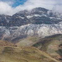
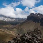
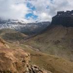
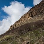
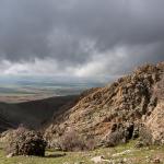
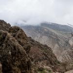
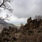
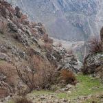
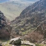
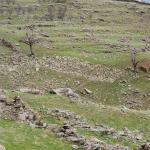
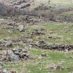
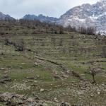
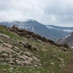
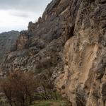
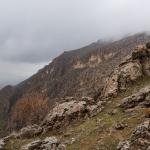
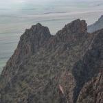
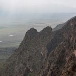
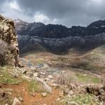
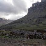
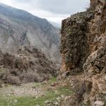
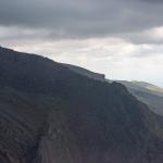
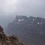
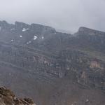
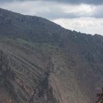
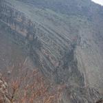
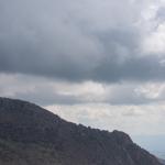
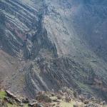
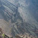
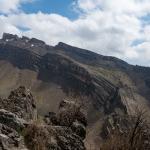
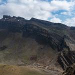
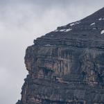
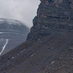
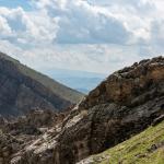
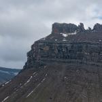
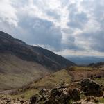
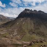
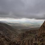
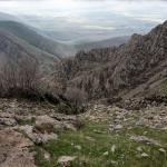
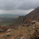
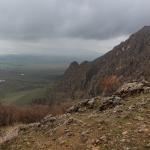
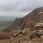
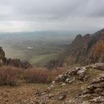
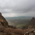
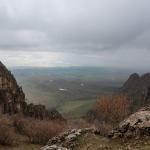
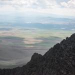
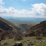
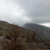
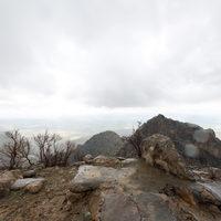
Landscape and Ridge of Mt. Piramagrun South of Merquli; Zewe Gorge

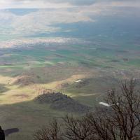
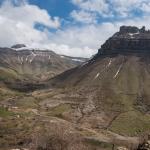
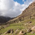
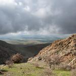
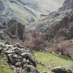
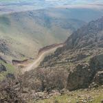
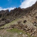
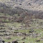
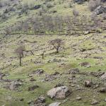
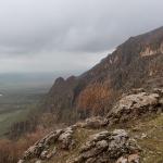
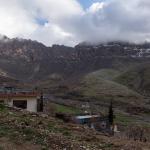
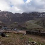
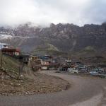
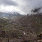
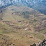
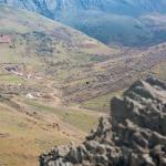
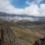
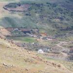
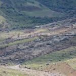
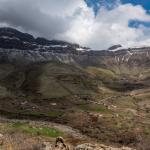
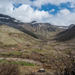
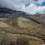
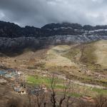
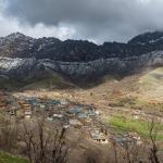
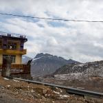
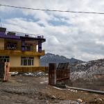
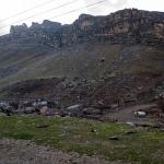
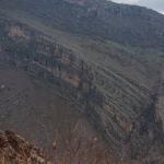
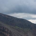
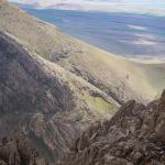
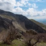
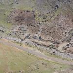
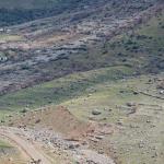
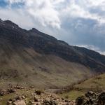
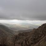
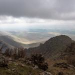
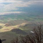
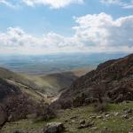
Zewe Village/Valley and Ridge of Mt. Piramagrun East of the Valley

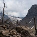
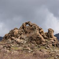
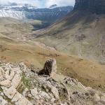
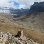
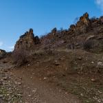
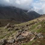
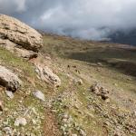
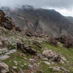
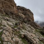
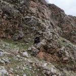
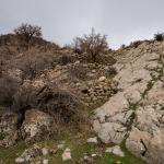
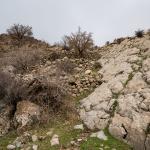
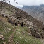
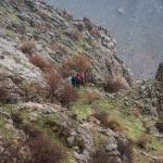
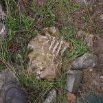
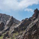
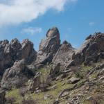
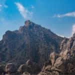
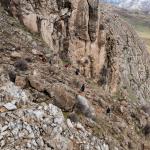
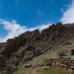
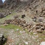
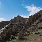
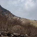
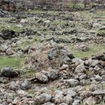
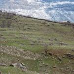
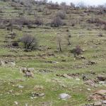
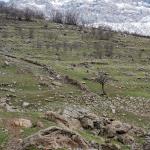
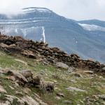
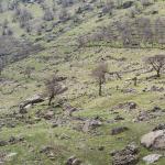
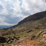
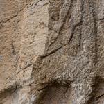
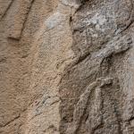
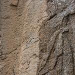
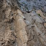
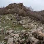
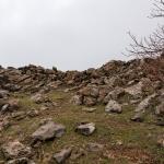
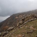
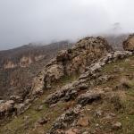
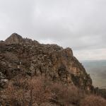
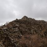
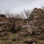
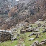
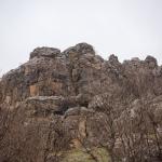
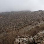
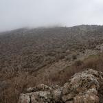
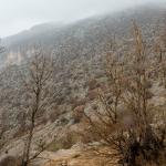
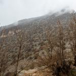
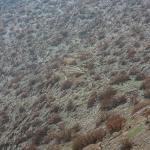
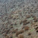
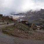
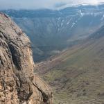
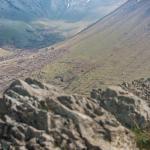
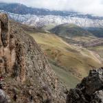
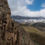
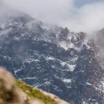
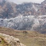
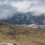
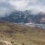
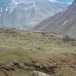
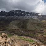
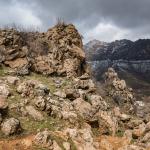
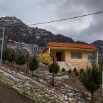
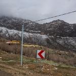
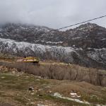
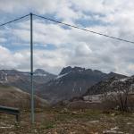
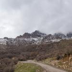
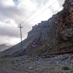
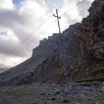
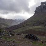
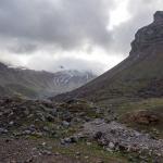
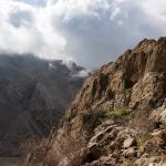
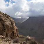
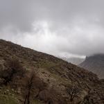
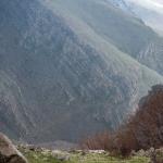
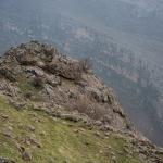
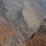
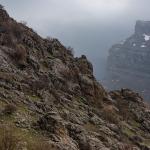
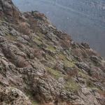
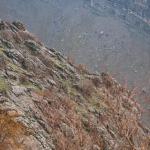
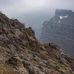
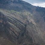
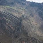
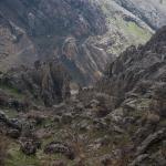
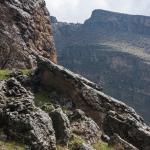
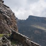
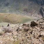
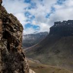
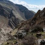
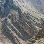
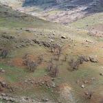
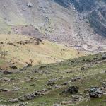
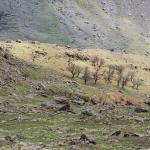
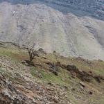
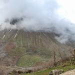
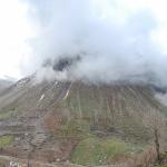
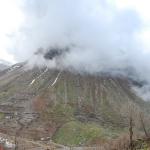
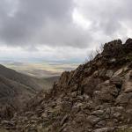
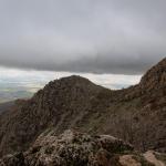
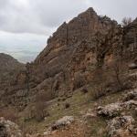
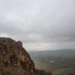
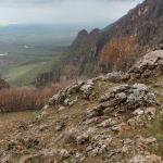
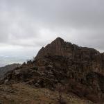
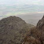
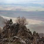
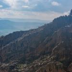
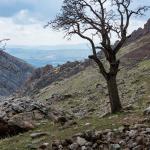
Various Views and Features along the Trail Leading up Merquli Peak

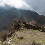
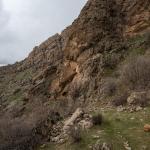

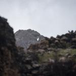
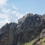
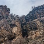

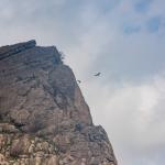
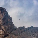
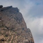
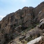
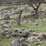
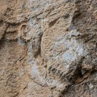
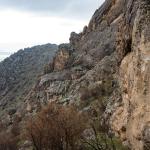
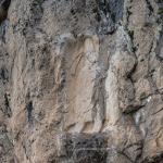
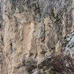
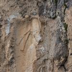
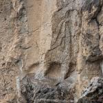
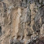
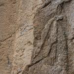
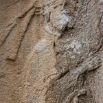
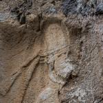
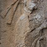
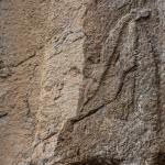
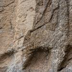
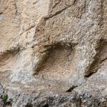
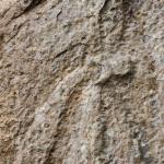
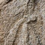
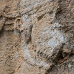
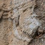
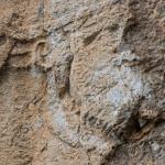
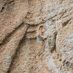
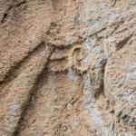
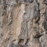
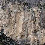
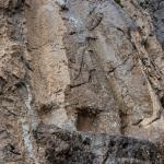
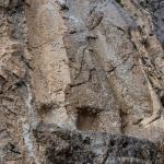
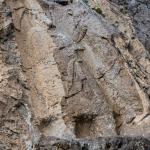
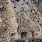
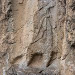
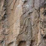
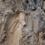
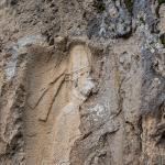
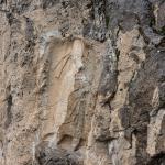
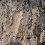
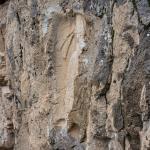
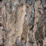
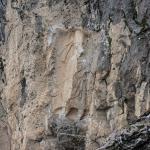
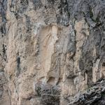
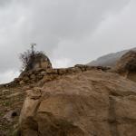
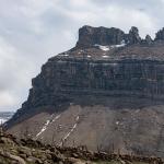
Merquli Relief and Its Surroundings
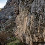
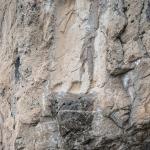
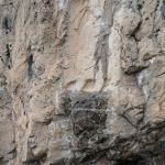
Merquli Relief


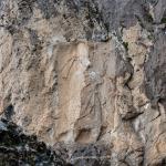


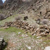
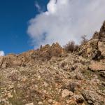
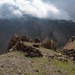
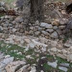
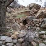
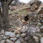
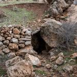
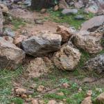
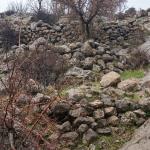
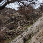
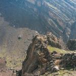
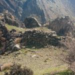
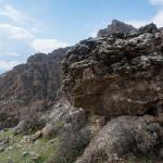
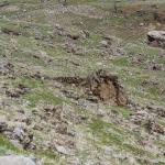
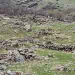
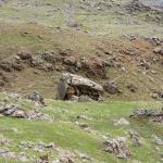
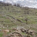
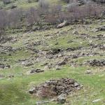
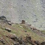
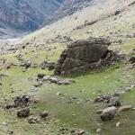
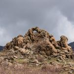
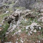
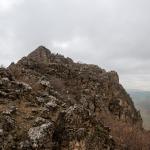
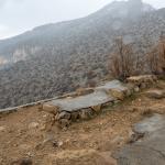
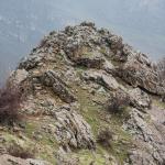
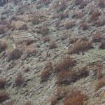
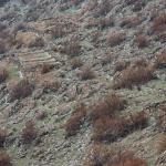
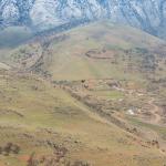
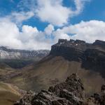
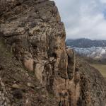
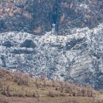
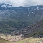
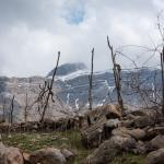
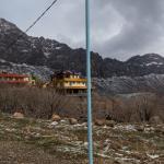
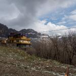
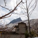
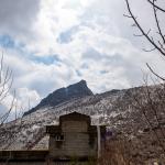
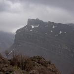
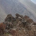
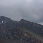
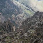
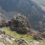
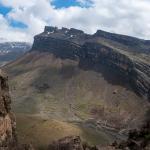
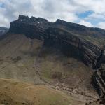
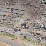
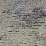
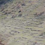
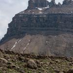
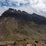
Area of the Merquli Citadel
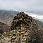

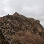


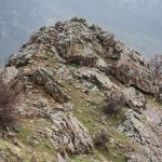
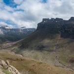
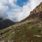
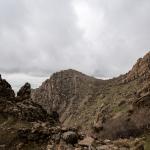
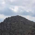
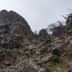
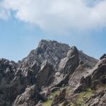
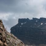
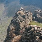
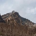
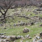
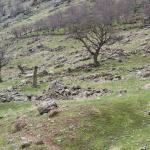
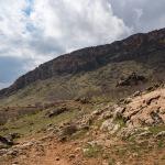
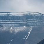
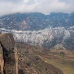
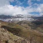
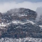
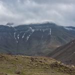
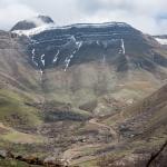
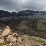
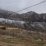
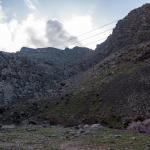
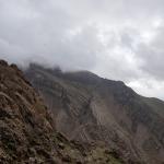
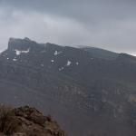
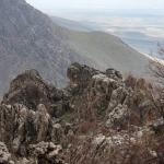
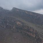
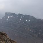
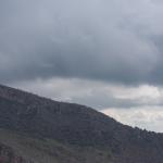
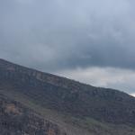
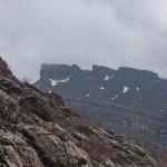
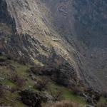
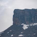
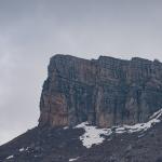
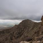
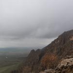
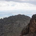
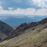
Ridge of Mt. Piramagrun North of Merquli
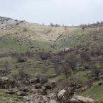
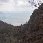
Zewe Village/Valley and Ridge of Mt. Piramagrun East of the Valley
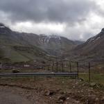
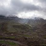
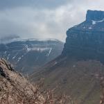
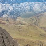

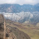
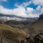

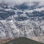

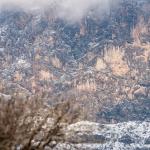
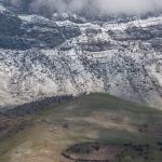
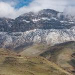
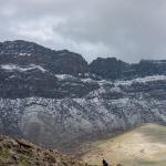
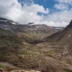
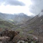
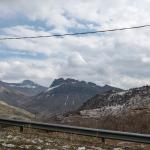
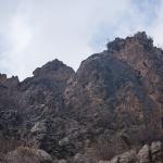
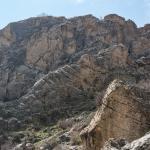
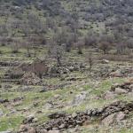
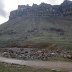
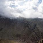
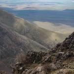
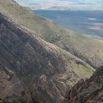
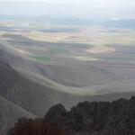
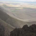
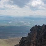
Landscape and Ridge of Mt. Piramagrun South of Merquli; Zewe Gorge
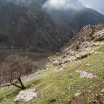
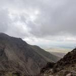

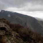

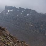


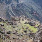
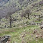
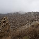
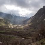
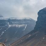
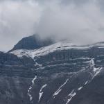
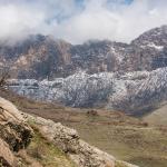
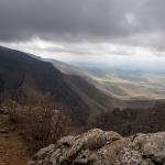
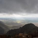
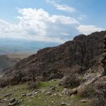
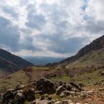
Landscape West of Merquli Viewed from Western Slope of Mt. Piramagrun


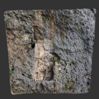
Description & Iconography
History
As with Rabbana, there is very little evidence for the history of Merquli. Positioned as it is in the westernmost range of the Zagros Mountains, in such a lofty position, it was surely associated with border defense—allowing visibility over a great distance. During the Parthian period, this area was a frontier between the empire’s western provinces and the vassal kingdom of Adiabene. Thus, scholars have identified the figure on the relief with a ruler from one or the other of these realms: some have suggested an Adiabenean king, while others prefer an Arsacid dynast—perhaps Vonones (r. 51 AD) or Vologaeses III (r. 108/9-147/8 AD), based on numismatic parallels for the headgear.1
Whoever this ruler was, the placement of his image along the approach to the citadel was certainly strategic, marking the entire site with an enduring figuration of his power. Since one encounters the relief of the king just before the upwards ascent to the citadel, it is likely that the relief relates to the entrance to the site. Given the similarity between the reliefs at Merquli and Rabbana, it may be that the same ruler (or succeeding members of a dynasty) sought to claim the possession of a group of fortifications and emphasize their interconnection by means of this pair of reliefs. In any case, the near replication of the images in fairly close proximity was surely meaningful in the context of the ancient Near East; it will have been understood as impressive and efficacious, with the repetition extending the ruler’s presence across multiple spatial contexts.2
The excavations conducted around Merquli’s citadel structure have revealed only a limited period of occupation, with only one main building phase and minor later modifications. Identifying the date of the citadel’s construction, based on excavated pottery types, has been difficult. One interpretation would place the earliest phase of the citadel in the Sasanian period—at odds with the clearly Parthian date of the rock relief; others have dated the pottery to ca. 1st–3rd centuries AD, which would allow for a Parthian-era construction corresponding with the relief.3 It is likely that future excavations will reveal a more nuanced chronology of the site.
It seems that Merquli was abandoned in Late Antiquity. It was not reoccupied, though the area was at one point used as a camp by the modern Iraqi army, disturbing part of the archaeological remains. Beyond the citadel, the site has not been excavated.
- 1. Amedie and Zamua 2011, 236 (Adiabenean king); Brown et al. 2018, 68–69, 71–74 (Arsacid dynast).
- 2. For the efficacy and significance of repetition in ancient Near Eastern sculpture, see Zainab Bahrani, The Infinite Image (London: Reaktion Books, 2014), 115–144.
- 3. Saber et al. (2014, 236–241) date all of the excavated pottery to the Sasanian period and comment that this “could suggest the site was constructed after the relief had already been made” (the authors note, however, that future excavations could reveal a Parthian phase to the structure). Brown et al. (2018, 71), positing a Parthian date, focus on the site’s green-glazed ceramics, “diagnostic examples of which can be dated to between the first and third centuries A.D. based on Mesopotamian and Iranian parallels.”
Selected Bibliography
D. A. Zamua, and Amedie, E. M.. 2011. “The Rock Reliefs of Mirqulie and Rabanah in Piramagrun Mountain: An Analysis and Comparison.” Subartu 4–5: 230–239 (in Arabic).
Brown, Michael, Peter Miglus, Kamal Rasheed, and Mustafa Ahmad. 2018. “Portraits of a Parthian King: Rock Reliefs and the Mountain Fortresses of Rabana-Merquly in Iraqi Kurdistan.” Iraq 80: 63–77.
Raheem, Kamal Rasheed. 2001. “The Project of Mountain Piramagroon’s Relief Replicas at Merquli and Rabana.” Hezar Merd 18: 153–163 (in Arabic).
Saber, Ahmed S., Zuhair Rejeb, and Mark Altaweel. 2014. “Report on the Excavations at Merquly: The 2009 Season.” Iraq 76: 231–244.