Site Profile
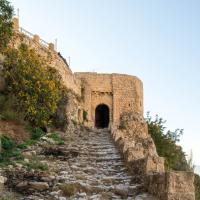
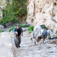
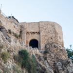
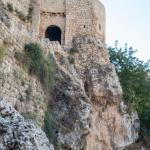
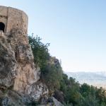
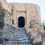
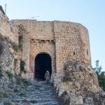
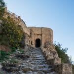
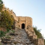
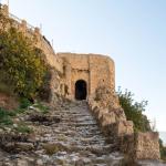
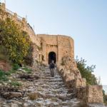
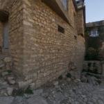
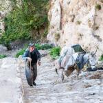
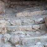
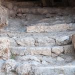
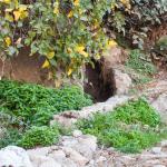
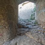
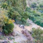
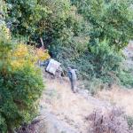
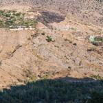
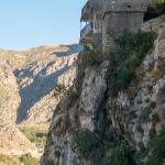
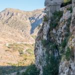
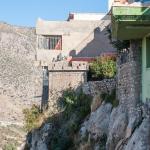
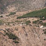
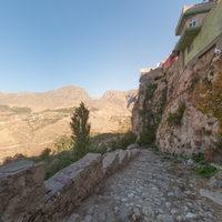
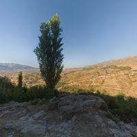
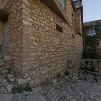
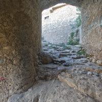
The natural acropolis of Amadiya/Amedi was settled by the Parthian period if not earlier, with later occupation phases extending to the present day. It was traditionally ascended by two footpaths, one to the east and one to the west. Both of these were paved with stone staircases along their upper reaches. While the path on the east has been replaced by a road for vehicular traffic, that on the west side is still in use, and a significant portion of the staircase survives. The staircase is contemporaneous with the Parthian-era reliefs carved into the cliffside along its final stretch. It was retained when the citadel was refortified under the Zengid dynast Imad al-Din Zengi (r. 1085–1146 AD) and in the following century, it was integrated into the monumental gate constructed under the ruler Badr ad-Din Lu’lu’ (r. 1225–1259 AD).
Media
Description & Iconography
History
No excavations have yet been conducted in the area of the Amadiya/Amedi staircase, and no obvious comparanda can be identified, precluding an exact dating. It is one of only a few known structures around the citadel that are clearly ancient, but very little can be ascertained about the city’s history prior to the medieval period.1 The rock-carved building near the south of the citadel, probably created as a cistern, can be roughly dated to pre-Islamic antiquity, before several Early Christian graves were dug into its walls. The chronology is even less clear for the earliest fortification walls in the vicinity of the staircase. The main criterion for dating the staircase, alongside the technique of hewing and cobbling the stones, is the group of Parthian-era reliefs along its final stretch; the way in which the lowest relief is positioned directly at the final switchback indicates that it was carved with a view to its visibility along a preexisting pathway.2 During the 1st century BC–2nd century AD, Amadiya/Amedi was located near the northern reaches of the semi-independent kingdom of Adiabene. However, systematic archaeological research will be necessary before any more precise conclusions can be drawn around the date of the staircase and the dynasty responsible for the construction.
It is important to make note of the pathway’s long “afterlife” alongside the rock reliefs, as Zainab Bahrani has argued.3 The structure was retained through the medieval period, not having been replaced during the Zengids’ refortification of the citadel in the 12th century. When the ruler Badr ad-Din Lu’lu’ erected his monumental gateway in the following century, the staircase, by now of great antiquity, was carefully integrated into the design. It has seen significant deterioration due to the centuries, even millennia of its use, but apparently it has been modified very little; in modern times, concrete has been poured into the cobbling of the steps close to the gate, and the barrier wall along its cliffward side has been raised.
- 1. On the date of the staircase, cf. Miglus et al. 2018, 122–125. Bahrani and the MMM team have also dated it to the Parthian period based on the related construction of the reliefs and the gate. Yaqut al-Rumi states that there was an earlier settlement that predates that of Imad al-Din Zengi; see Bahrani et al. 2019, 49–51.
- 2. Bahrani et al. 2019, 59.
- 3. Bahrani et al. 2019, 59–60.
Early Publications
Amadiya/Amedi appears in many 19th-century travelogues, but the staircase attracted little attention among the writers. If it is mentioned, this is generally due to its length and arduous character rather than any antiquarian or scholarly interest.1 Henry Binder provides the only comments of any (limited) documentary value: “Le chemin est à moitié taillé dans le roc, et la descente ment périlleuse que nous devons mettre pied à terre; c’est un escalier à moitié détruit, formé des rochers et de galets usés et polis par les temps.”2 Walter Bachmann, visiting in the early 20th century, helpfully included the staircase’s upper portion in his diagram and photograph of the Bahdinan Gate.3 However, he did not venture any description or interpretation of the construction. By this time, Lord Warkworth had already photographed the eastern approach, also without commentary on the associated staircase.
Selected Bibliography
Ainsworth, William. 1842. Travels and Researches in Asia Minor, Mesopotamia, Chaldea, and Armenia. 2 vols. London: J. W. Parker.
Bachmann, Walter. 1913. Kirchen und Moscheen in Armenien und Kurdistan. Leipzig: J. C. Hinrich.
Bahrani, Zainab, with Haider Almamori, Helen Malko, Gabriel Rodriguez, and Serdar Yalcin. 2019. “The Parthian Rock Reliefs and Bahdinan Gate in Amadiya/Amedi: A Preliminary Report from the Columbia University Mapping Mesopotamian Monuments Survey.” Iraq 81: 47–62.
Binder, Henry. 1887. Au Kurdistan en Mésopotamie et en Perse. Paris: Maison Quantin.
Miglus, Peter, Michael Brown, and Juan Aguilar. 2018. “Parthian Rock Reliefs from Amādiya in Iraqi-Kurdistan.” Zeitschrift für Orient-Archäologie 11: 110–129.
Warkworth, Lord [Henry A. G. Percy]. 1898. Notes from a Diary in Asiatic Turkey. London: Arnold.

